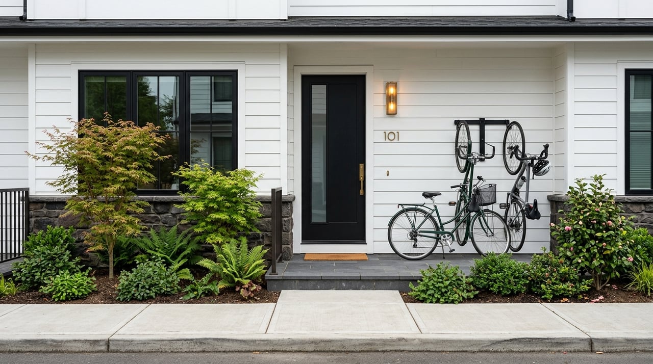
If you want to live in Bellevue without relying on your car for every single trip, you are not imagining a trend that does not exist. Bellevue has several areas where transit, daily errands, and walkable connections line up better than many buyers expect. The key is knowing which neighborhoods truly support a car-light routine and which ones still work better if you plan to drive often. Let’s dive in.
What car-light means in Bellevue
Bellevue is best understood as a car-light city, not a fully car-free one. The strongest options are neighborhoods where light rail, bus access, groceries and services, and pedestrian connections overlap.
That matters because Bellevue’s car-light advantages are not spread evenly across the city. They cluster around mixed-use centers and 2 Line stations, especially in and around Downtown, East Main, Wilburton, BelRed, and the Spring District.
Why some Bellevue neighborhoods stand out
The city identifies six mixed-use centers: Downtown, BelRed, Eastgate, Factoria, Wilburton-East Main, and Crossroads. These are the places where housing, jobs, retail, and transportation are meant to work together more closely.
Bellevue’s current 2 Line stations also shape what daily life can look like without constant driving. The line serves South Bellevue, East Main, Bellevue Downtown, Wilburton, Spring District, and BelRed, and the full East Link extension across Lake Washington opened on March 28, 2026.
Downtown Bellevue leads the list
If your goal is to reduce car use as much as possible, Downtown Bellevue is the clearest first choice. It is Bellevue’s primary economic and employment center, and it is also the city’s fastest-growing residential neighborhood.
Downtown offers one of the strongest combinations of housing, jobs, retail, dining, parks, and transit access in the city. The city’s mixed-use-center inventory counted 398 amenities downtown, the highest total in Bellevue by a wide margin.
What makes Downtown workable
A car-light lifestyle depends on more than just being near a station. You also need useful places close by, comfortable walking routes, and practical transit connections.
Downtown checks those boxes better than anywhere else in Bellevue. The area includes Downtown Park, Meydenbauer Bay Park, KidsQuest Children’s Museum, Bellevue Arts Museum, Old Bellevue on Main, Bellevue Collection, and the Bravern within walking distance or easy reach.
Downtown transit and bike access
Downtown also has Bellevue’s most developed walk, bike, and transit support system. The city has installed nine pedestrian wayfinding kiosks downtown, and local bikeways connect Old Bellevue shops with the transit center and regional trails.
Bellevue Downtown Station adds another major advantage. The station area includes bike parking and direct access to Bellevue Transit Center bus bays, which makes transfers and day-to-day mobility easier.
Old Bellevue and East Main are strong complements
Old Bellevue and East Main fit naturally into the same conversation as downtown. If you want an urban feel with strong connections but a slightly different setting, these areas deserve a close look.
East Main is especially notable because it is planned as a 60-acre people-oriented district just south of downtown. It sits directly beside East Main Station and was designed with street and pedestrian circulation standards that support more non-car trips.
Why East Main matters
For buyers who want to be close to downtown without being in its core, East Main offers an appealing middle ground. It combines rail access with a district designed around people movement, which can make everyday routines feel more manageable without driving each time.
This area also benefits from future connectivity plans. Bellevue says the Main Street Eastrail connection would link south Downtown and East Main Station to Eastrail, with the segment at Main Street expected to open by fall 2027.
Wilburton, BelRed, and Spring District offer newer transit-oriented options
If Downtown and East Main feel like Bellevue’s mature car-light core, Wilburton, BelRed, and the Spring District are the strongest next-wave options. These areas are closely tied to transit-oriented growth and are especially relevant if you prefer a newer, evolving neighborhood setting.
BelRed is being transformed from a light industrial area into mixed-use, transit-oriented neighborhoods. The city says that transformation includes three light rail stations, street improvements, pedestrian and bike facilities, parks and open space, an arts district, and creek daylighting.
What buyers should expect here
This part of Bellevue can make sense if you value access to rail and newer development more than a fully built-out urban environment. Some areas may still feel like they are in transition compared with downtown.
That said, the transportation framework is meaningful. Wilburton is tied to Eastrail, the Grand Connection, and the Wilburton light rail station, while the Spring District adds another station-area mixed-use node with major housing and office development around the station.
Station access in this corridor
Transit details matter when you are comparing neighborhoods block by block. Wilburton Station has bike lockers and racks, and BelRed Station has bike parking and a park-and-ride.
The 2 Line also serves both Spring District and BelRed. For many buyers, that means a more realistic path to commuting or daily travel without always getting behind the wheel.
Crossroads works well for errands and buses
Crossroads belongs on this list, but for a different reason. It is less about rail-centered living and more about everyday convenience plus bus access.
The city describes Crossroads as a dense neighborhood with apartment complexes, retail, restaurants, and community services. It also points to Crossroads Shopping Center, Mini City Hall, the Crossroads Community Center, the police substation, and Crossroads Park as important local features.
Best fit for Crossroads
If your version of car-light living means handling errands nearby and using transit for selected trips, Crossroads may be a practical match. It can support a routine built around convenience, even if it does not offer the same rail-focused setup as downtown or BelRed.
King County Metro Route 245 serves Crossroads and connects the area with Kirkland, Overlake, Bellevue College, and Eastgate. That makes Crossroads one of Bellevue’s stronger bus-oriented neighborhoods for daily life.
South Bellevue helps with regional transit access
South Bellevue and nearby West Bellevue can also be useful if your priority is regional mobility. This area is more residential than downtown, but it now benefits from rail access through South Bellevue Station and the South Bellevue Park & Ride.
That does not automatically make it as walkable for daily errands as downtown. Still, the station adds meaningful access for people who want to combine driving less often with stronger bus and rail connections.
South Bellevue transit profile
The station’s bus plaza currently lists Trailhead Direct service plus Metro routes 203, 226, 240, 249, 550, and 556. That gives the area a solid regional transit profile.
The neighborhood profile also notes access to waterfront areas and the Mountains to Sound Greenway. For some buyers, that combination of residential setting and broader transit access can be appealing.
Factoria can support a partial car-light routine
Factoria is another neighborhood worth considering if your goals are practical and flexible. It is not the strongest walk-first option in Bellevue, but it can support a partial car-light lifestyle, especially if everyday errands are your main focus.
The city describes Marketplace at Factoria as a regional retail center with stores such as Target, Nordstrom Rack, T.J. Maxx, and Amazon Fresh, along with restaurants and services nearby. That concentration can make day-to-day shopping easier without long drives.
Factoria versus Eastgate
Between the two, Factoria stands out more for convenience. The city’s mixed-use-center analysis shows Eastgate has the fewest amenities of any mixed-use center.
Eastgate still matters because the Eastgate Park & Ride is a regional transportation hub and Bellevue College is nearby. But if you are comparing the pair for a car-light routine, Factoria generally offers the stronger errand base.
The paths and projects that improve daily mobility
Bellevue’s non-car network is not just about rail stations. The city’s walking and biking resources also play a big role in making car-light living more realistic.
The city offers a 2020 Bike Map, a 2019 Downtown Bellevue Pedestrian Guide, and other planning resources through its pedestrian-and-bicycle program. Downtown-specific projects include the 108th Avenue NE Bikeway, the Main Street Bikeway, and the NE 12th Street Multipurpose Path.
Why these connections matter
These projects improve links among Old Bellevue, Bellevue Transit Center, and regional trail corridors. In real life, that can mean easier first-and-last-mile trips, better bike access to stations, and more comfortable local travel.
Bellevue is also building the next layer of connections. The Grand Connection corridor runs from Meydenbauer Bay through Old Bellevue and Downtown Park to Eastrail, and the signature I-405 crossing is intended to improve safe walking, biking, and rolling across the freeway, with a target opening in 2030.
Best Bellevue neighborhoods for car-light living
Here is the simplest way to rank Bellevue neighborhoods for a car-light lifestyle based on the current mix of rail, services, and pedestrian connections:
- Downtown Bellevue, Old Bellevue, and East Main for the strongest overall mix of walkability, daily amenities, and transit
- Wilburton, BelRed, and Spring District for newer transit-oriented living with strong long-term potential
- Crossroads for bus-based convenience and daily errands
- Factoria for shopping and services that support a partial car-light routine
- South Bellevue and parts of West Bellevue for regional rail and bus access in a more residential setting
What to compare when you tour neighborhoods
If you are shopping for a home and want to drive less, it helps to look past the listing photos. The most useful comparison points in Bellevue are often very practical.
Look closely at:
- Distance to a 2 Line station or major bus stop
- Access to groceries, restaurants, and everyday services
- Sidewalk, bike, and trail connections nearby
- Whether the area feels mature and fully built out or still in redevelopment
- How easily you can reach work, appointments, and weekend destinations without always driving
A neighborhood does not have to be perfect to support your routine. The goal is to find the version of car-light living that matches how you actually move through your week.
If you are weighing Bellevue neighborhoods and want practical guidance on what fits your lifestyle, Yang Xiao can help you compare the tradeoffs and focus on the areas that make daily life easier.
FAQs
Which Bellevue neighborhood is best for a car-light lifestyle?
- Downtown Bellevue, Old Bellevue, and East Main are the strongest overall options because they combine rail access, daily amenities, and strong pedestrian connections.
Are there Bellevue neighborhoods with light rail access?
- Yes. The 2 Line serves South Bellevue, East Main, Bellevue Downtown, Wilburton, Spring District, and BelRed.
Is Bellevue better for car-light or car-free living?
- Bellevue is better described as car-light rather than fully car-free, because the best non-car options are concentrated in specific mixed-use and station areas.
Is Crossroads a good Bellevue neighborhood for living with less driving?
- Crossroads can work well if you value nearby errands and bus access, especially through Route 245, more than direct rail-centered living.
How do Factoria and Eastgate compare for car-light living in Bellevue?
- Factoria is generally the stronger option for everyday convenience because it has a more useful concentration of shopping and services, while Eastgate has fewer amenities but remains important for regional transit access.
What Bellevue areas are still developing around transit?
- Wilburton, BelRed, and the Spring District are key redevelopment-era areas with major transit-oriented growth, newer projects, and improving pedestrian and bike connections.